ISLE OF SHEPPEY CIRCULAR WALK
From Warden
 |
 |
 |
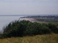
(1) View towards Leysdown |
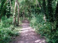
(2) Woodland Nr Warden Point |
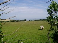
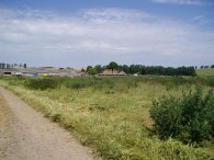
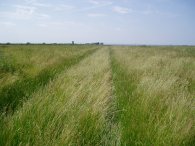
I parked the car in Warden and climbed up the low cliffs towards Warden Point, photo 1 was taken looking back the way I had come towards Leysdown. I then took a path that runs through a narrow strip of woodland, photo 2, and then turned right onto a track that runs into Thornhill Road. I continued along Thornhill Road, past the Warden Springs caravan park on the right. At the end of Thornhill Road I turned left into Warden Road where there were good views to the right across the Thames Estuary towards Essex, photo 3, which can be seen a bit better in the larger version of the photo (click the green text above).
 |
 |
 |
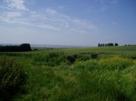
(4) View across Sheppey |
(5) Rayham |
(6) Field nr Rayham |
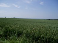
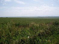
I continued along the Warden Road till just before the Wheatsheaf pub is reached where I took a bridleway that heads off to the left. From here my route headed more or less due South right across the island to the Isle of Harty. The bridleway runs past some buildings before crossing the crest of a small hill which gives good views over the island to the mainland, photo 4. The path then begins to head downhill besides fields towards the farm at Rayham. The path was not waymarked and although I could tell the general direction of the route as I neared the farm from the map I had a bit of difficulty finding the exact course onthe ground. For the record I passed through one very rickety wooden gate secured with a chain and crossed over a small field to another rickety wooden gate which was also secured by a chain. I continued on a further 20 yards and then turned sharp right across a field heading towards a low red brick wall with a new house being built to the right of it. I then passed down the left hand side of the wall and over a metal gate into the farmyard. I turned left and then right through the farmyard, past a barn, and then left onto a track that led out of the farmyard and across fields. Photo 5 was taken looking back towards the farm complex at Rayham. A little way down the track the route of the footpath heads off diagonally to the right along a vague track, photo 6, heading for the right hand corner of the field where it passes through a gateway into the next field.
 |
 |
 |
(7) Field nr Rayham |
(8) View towards The Swale |
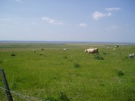
On the map the route of the path is shown as heading straight across the field to the road however there was no path in sight, and as the crop was quite high, photo 7, I headed round two sides of the field edge to reach the Leysdown road. The path crosses the Leysdown Road and then heads down Harty Ferry Road. This was a very quiet road and only a couple of vehicles passed me while I was walking along it. The road ascends slightly past Capel Hill Farm before descending to the low marshland. All the time there were good views over the island towards the Swale, photos 8 and 9.
 |
 |
 |
(10) Cows on the path |
(12) Harty Marshes |
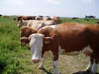
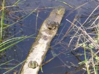
At Capel Gate where the Harty Ferry Road bends round to the left, my route continued straight ahead on a footpath across the marshland. The gateway from the road was surrounded by a large herd of cattle and calves, a few of which can be seen standing on the path in photo 10. After some debate I decided to take my chances and make my way through them and they grudgingly made space for me to walk past. I do feel wary though when there are so many cows with young calves on the path. Passing over the marshland I spotted a group of Marsh Frogs with their distinctive green stripe along their backs sunning themselves on an old fence post that was floating in a drainage ditch, photo 11. Just a short distance further on I heard a rustling in the grass and spotted two young stoats having a play fight with one another. I also spotted a Marsh Harrier circling around overhead.
 |
 |
 |
(13) Harty Marshes |
(14) The Swale |
(15) Looking back over Sheppey |
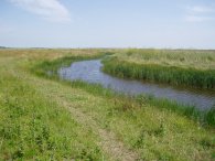
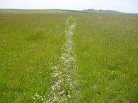
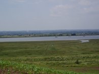
It was pleasant walking although it some parts the path was a bit vague. In photo 13 the route of the path can be seen marked by the line of white flowers which had taken the opportunity to grow where the grass was lightly shorter. My next destination, the Isle of Harty can be seen on the horizon. Reaching the Isle of Harty the path skirts round a field before climbing uphill to a height of about 25 metres. This gave good views across the Swale, photo 14, which is now much closer and back across the Island from where I had walked on the far horizon, photo 15.
 |
 |
 |
(16) A pint and a map |
(17) Field Nr Harty Church |
(18) Harty Church |
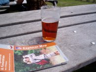
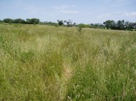
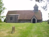
The path passes through the farm at Mocketts on top of the hill before descending once again besides fields to reach the Ferry Inn where I stopped for a pint, photo 16. The gardens of the pub overlooked the Swale and I could clearly see the route I had walked from Faversham to Herne Bay a couple of weeks earlier just across the water. Leaving the Ferry Inn I took a very overgrown path, photo 17, that runs across a field below Park Farm before leaving the marked path whcih was covered in a crop and heading up the side of the next field to a minor road. Turning right down the road I almost immeadiately came across the delightful church of St Thomas the Apostle, photo 18, perched on a slight hill over looking the Swale, a lovely location where I sat down and had my lunch. Parts of the church are over 900 hundred years old and much was built around the year 1200, a remote site with a very long history.
 |
 |
 |
(19) The Swale Nature Reserve |
(20) The Swale Nature Reserve |
(21) The beach at Shellness |
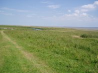
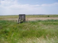
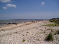
Leaving the church I headed along a track that led down to the sea wall along the side of the Swale and the entrance to the Swale Nature Reserve, photo 19. Some parts of the path along the sea wall were quite overgrown which made walking a bit difficult in places, particularly as the grass appeared to have been bent over from the direction I was walking too and my feet kept getting tangled up in the greenery. This was a fairly barren stretch of walking, the sea wall is some distance from the actual edge of the Swale and there was nothing much too see apart from marsh. I passed a couple of bird hides, photo 20, although it was not really the right time of year or weather conditions to spot anything interesting. Eventually the path reaches the hamlet of Shellness and the sea coast of the island. Besides Shellness is a small and rather dreary nudist beach and I had to be quite selective where I took photo 21.
From Shellness the path turns left and runs back up the coast towards Warden, passing the bigger resort of Leysdown on Sea and its numerous caravan sites on the way. After all the remote countryside this came as a bit of a shock with its little collection of amusement arcades and chip shops, a world away from the empty marshes not far down the road.
 |
(22) Approaching Warden |
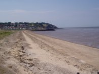
From Leysdown the path ran besides the beach to Warden, photo 22, from where it was a very short climb up to where the car was parked.
The GPS made this walk 13.3 miles long.
If you would like to comment on this walk you can do so here:
![]() Back to:Walking index page
Back to:Walking index page
| ©2012 Bertuchi.co.uk. Please contact me using the email button on the right if you have any questions or comments regarding the site. Any feedback and additional information about places of interest on the walks is always welcomed. All rights reserved. Please contact me if you want to use any of the images or information from the site. ENJOY YOUR WALKING |