Other Links >>> |
|
LIMEHOUSE BASIN TO MANOR PARK
I walked this walk on the 14th May 2006, continuing on from the end of stage four of the Lea Valley Walk.
 |
 |
 |
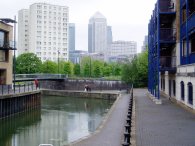
(1) View towards Canary Wharf |
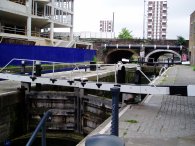
(2) Regents Canal, Limehouse Basin" |
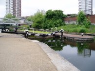
(3) Salmon's Lane Lock |
I had reached the Limehouse Basin along the Limehouse Cut which can be seen in photo 1, along with the buildings of Canary Wharf in the background. This had completed my walk along the Lea Valley from Leagrave to the Thames however as I had not even walked five miles on the day and thus I continued on from Limehouse Basin up the Regents Canal. Photo 2 shows the final lock on the Regents Canal at the entrance to the Limehouse Basin. Photo 3 shows the next lock up which is Salmon's Lane Lock.
 |
 |
 |
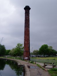
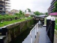
(4) Chimney, Mile End |
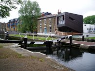
(5) Johnson's Lock |
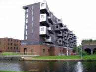
I continued up the Regents canal through Mile End, where the old chimney in photo 4 stands rather forlornley besides the path in an area where most of the old industrial buildings have been repalced by housing. The path passes close to the Mile End Stadium, which is aslo home to the Sporting Bengal football team which I have visited as an away fan a couple of times and goes past the back of the Ragged School Museum. The musum is housed in three old canalside wharehouses in Copperfield Road which have been saved from demolition and is well worth a visit. Just past the museum is Johnson's Lock which is currently surrounded by new housing developments on either side as the areas industrial heritage gradually disappears. A short distance further up the canal Mile End Lock is reached, photo 6. The most notable feature of this lock is the way the old lock keepers cottages have been extended by a most unusual architectural addition which can be seen more clearly in the larger photo, (click on green text below the photo).
 |
 |
 |
(7) Queen Mary's College |
(8) Mile End Park |
(9) Buses on Roman Road |
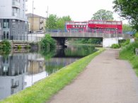
The path continues on through Mile End besides the Regents Canal with buildings of the University of London Queens Mary's College on the left bank, photo 7, and Mile End Park to the right, photo 8.
 |
 |
 |
(10) Old Ford Lock |
(11) Hertford Union Canal |
(12) Hertford Union Canal |
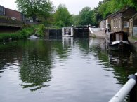
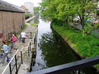
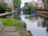
Just before the Old Ford Lock is reached, photo 10, the Regents Canal is joined from the right by the Hertford Union Canal, photos 11 and 12. The Hertford Union Canal opened in 1830 and links the Regents Canal with the Lea Navigation.
 |
 |
 |
(13) Hertford Union Canal |
(14) Cottages, Hertford Union top lock |
(15) Hertford Union top lock |
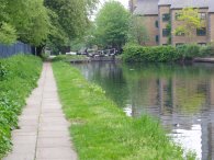
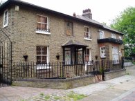
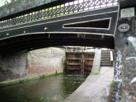
The canal is just over a mile long and runs alongside Victoria Park for most of its length, photo 13. There are three locks towards the Eastern end of the canal. Coming fromthe Regents Canal the first of these is called the Hertford Union top lock, photo 14 shows the old lock keepers cottages besides the lock. Photo 15 was taken looking back at the bottom end of the lock.
 |
 |
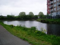 |
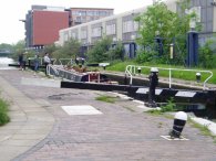
(16) Hertford Union middle lock |
(17) Hertford Union bottom lock |
(18) Lea Navigation |
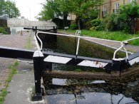
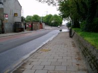
The second lock on the Hertford Union canal is somewhat unsuprisingly known as the Hertford Union middle lock, photo 16, and a short distance further along the canal after having past inder the A12 is the Hertford Union bottom lock, photo 17. From here it is only a very short walk to the junction of the Hertford Union Canal with the Lea Navigation, photo 18, which I had walked down earlier in the day.
 |
 |
 |
(19) White Post Lane |
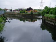
(20) Waterworks river |
(21) Carpenters Lane |
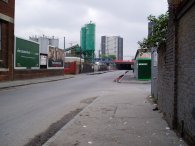
Just past the junction of the two canals I left the towpath and joined White Post Lane , photo 19, by the Bow Industrial estate. Photo 20 shows the junction of the old River Lea and the Waterworks river from White Post Lane.
Crossing the river, White Post Lane becomes Carpenters Lane. This is an area that has been undergoing considerable change and this process is likely to be accelerated as a result of the development associated with the 2012 Olympic Games which will be held in the area. While walking through the desolate and run down industrial units along Carpenters Lane may not seem the ideal choice for a walk it is likely that in a few years the area will no longer exist in it's current state, progress in one respect but it will be a shame to lose the heritage the area has.
 |
 |
 |
(22) Approaching Stratford, E15 |
(23) Romford Road |
(24) Romford Road |
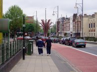
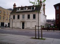
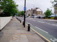
From Carpenters Lane I passed through a small housing estate and onto the High Street, photo 22. From there it was a short walk through the Broadway past the Stratford shopping centre and on in to the Romford Road, photo 24, which I followed for the rest of the walk.
 |
 |
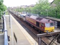
(25) Woodgrange Park Station and Engine 60051 |
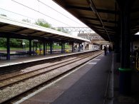
(26) Manor Park Station |
It had been my intention to walk up the Romford Road to Woodgrange Park station to get a train on the direct line back to Walthamstow Queens Road which takes just 11 minutes, however as often seems to happen when I am out walking the line was closed due to weekend engineering works. As I was passing the station I looked in to see if it was open however there was just a freight locomotive parked up in the station, photo 25. Instead I continued the short distance up the road to Manor Park station, photo 26, and a considerably longer journey home via train, tube and bus.
The GPS made the length of this walk 6.02 miles long and total distance walked for the day of 10.9 miles.
![]() Back to:Walking index page
Back to:Walking index page
| ©2012 Bertuchi.co.uk. Please contact me using the email button on the right if you have any questions or comments regarding the site. Any feedback and additional information about places of interest on the walks is always welcomed. All rights reserved. Please contact me if you want to use any of the images or information from the site. ENJOY YOUR WALKING |