
LONDON LOOP STAGE 6
Banstead to Kingston Bridge
|
|
|
|
|
|
|
|
|
|
I walked this section on the 7th May 2005 so I have failed in my target from the start of the year to walk at least one stage of the loop each month this year having not walked the loop since mid March - although I have been doing quite a lot of other walking in the meantime. Travelling to the loop by public transport is taking ages, living in East London it took almost an hour and half to get to Banstead and a similar time travelling back from Kingston at the end of the stage, almost as long as the stretch took to walk.
I have recently brought a GPS and this was its first trip out. After finally arriving at Banstead I got a satellite lock and started walking. After a short stretch of road the link from the station and the first part of this stage of the loop path crosses a golf course, something I hate. Even though the courses have been built over public footpaths I often get the feeling of not being at all welcome.
After the previous quite rural stretches of path this stage was very urban for much of it's course. I don't mind walking through built up area's, it is often interesting to see all the different architecture of the buildings, but much of this was just boring suburbia. For some reason my left shin starting feeling very painful almost as soon as I started walking which did not help matters either, anyway on to the walk itself.
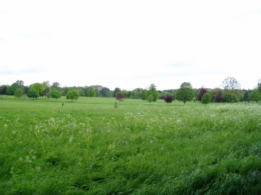
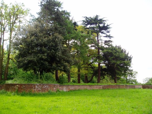
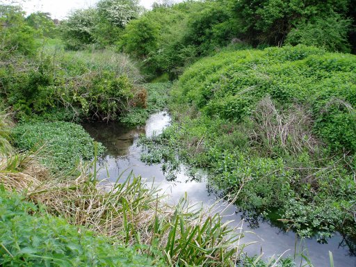
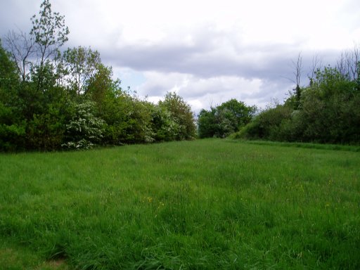
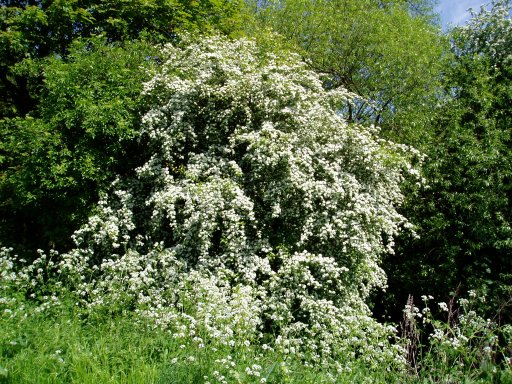
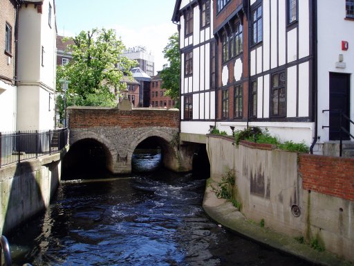
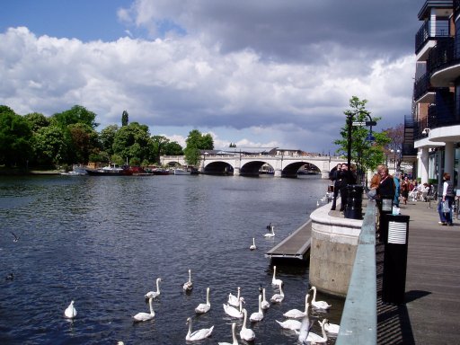
The first three photo's were taken in Nonsuch park. From there the path makes its way to Ewell town centre where the Hogsmill River is joined. With a few diversions this is followed all the way to where it joins the Thames in Kingston. The fourth photo was taken near the start of the Hogsmill and fifth and six are views from beside the river. The seventh photo is taken of the Hogsmill River in Kingston, just before it joins the river Thames and is one of my favourite photos to date with the mix of old and new buildings and the river flowing under the bridge. A loop signpost can be just about made out on the left hand side of the bridge. This is the last signpost for some time. Up to this point the London Loop has been well signposted for its entire route from Erith making navigation generally very easy, however here the marking stops. The final photo is of Kingston Bridge, the official end of this stage of the walk, from which it is just a short walk through Kingston town centre to the train station. The last five miles of this stretch shares the route of the Thames Downs Link.
The GPS made this stage, including the links to the stations, 10.4 miles long.
![]() Back to:Walking index page
Back to:Walking index page