HERTFORDSHIRE CHAIN WALK - LINK 2
Circular from Crews Hill (1)
|
|
|
|
The Hertforshire chain walk is a series of circular walks, linked together like a chain. I began this walk at Crews Hill and intended to walk the first two loops which together form a figure of eight.
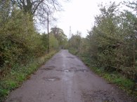
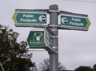
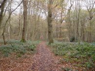
I parked by Crews Hill train station and then walked along the road past the nurseries before turning left down a track, photo 1, that headed North under the M25 motorway and up towards Goffs Oak, joining for a while the route of the Hertfordshire Way, photo 2. At Goffs Oak a rather long stretch of road walking led towards the Broxbourne Woods. At least this stretch of road walking had a pavement to walk on which was ot the case in a couple of the later parts of the walk.
 |
 |
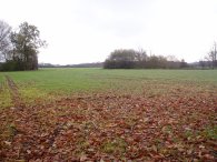 |
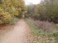
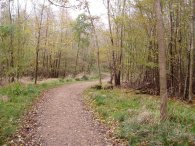
The chain walk is not signposted on the ground and when I entered the woods I initially took the wrong path, photo 4, although it was not too long before I realised my mistake as I reached some open ground where there should not have been any if I had been on the right route. A quick look at the GPS confirmed I was about 400 metres East of where I should be however it was a pleasant detour after the roads and it did not take long for me to retrace my steps and get back on the correct path, photo 5. I suppose I shoudl really look at my map a bit more!
The path leaves Wormley Wood and head along White Stubbs Lane for a short while before taking a track on the left that heads South towards Newgate Street, photo 6.
 |
 |
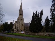 |
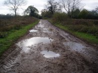
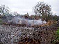
This track was initially quite muddy, photo 7, and also passed a rather smelly pile of smouldering manure on the way, photo 8, but as Ponsbourne Hall is reached becomes surfaced leading up to Newgate Street with its attractive little church, photo 9.
 |
 |
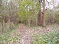 |
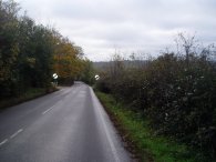
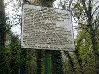
From Newgate Street the path heads South West down a very busy road, photo 10, with no pavement which was not very pleasant although I found it was possible to walk in the woodland on the right hand side of the road for some of the way until Home Wood is reached and the path leaves the road. At the entrance to the woodland there is a rather stern sign listing all the things that can't be done in the woodland, photo 11. It is only a short walk through the woodland, photo 12, until the outskirts of Cuffley is reached. Here, once again I wandered off route for a short while! The path passes through houses towards the ridgeway, before leaving the road and descending reasonably steeply into a valley which is followed towards the B156. It was going down this slope that my left knee suddenly started to hurt, usually it is my other knee that gives me trouble, and it remained sore for the rest of the walk.
 |
 |
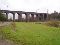 |
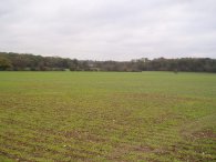
The B156 is followed for a short distance towards Cuffley again before the path turns right, down a track, just past a sports centre. This track takes the path under a railway embankment and then across fields, photo 14, to eventually rejoin the path taken earlier in the day that had led up from the subway under the M25. At this point I had originally intended to continue straight ahead, onto the first link of the chain walk but by this stage my legs were feeling quite tired so I decided to retrace my steps back ot the car and save the first circuit for another day.
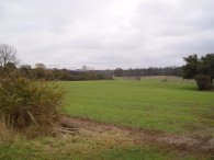
This was the first walk I had done for some time and my legs ached considerably at the end which was suprising given the distance I walked. Generally though it was quite a pleasant walk through rolling countryside although the stretches of road walking, and particularly those without a footpath, detracted somewhat from the trip.
The GPS made this walk, including the short diversions I made, 12.1 miles long.
![]() Back to:Walking index page
Back to:Walking index page