HERTFORDSHIRE CHAIN WALK - LINK 1
Circular from Crews Hill (2)
 |
 |
 |
The Hertforshire chain walk is a series of circular walks, linked together like a chain. Last week I had intended to walk the first two links but ended up only doing the second one in the series so this week I came back to walk the southern most link of the chain.
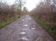
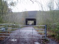
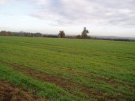
Although there are a number of potential parking places on the route, (Whitewebbs Park, ClayHill,) as in the previous week I parked by Crews Hill train station and then walked along Cattlegate road past the nurseries before turning left down a track, photo 1, that headed North under the M25 motorway, photo 2. Just before Burnt Farm is reached the path turns right along a track that heads gently uphill. This eventually gives good views south across to central London, where the post office tower could be seen on the horizon and out to the East across the Lea Valley, photo 3. The weather was far milder than last week with little or no wind and I had soon packed my hat, gloves and second fleece away.
 |
 |
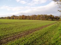 |
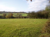
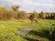
The path headed through a riding stables, one of many the first two links of the Hertfordshire chain walk passes, and on to the road at Silver street. Although there was no pavement this was a very quiet road and only a couple of cars passed me while I was walking along it. At the end of the road the route turns right along another road for a short distance before heading between fields, phot 4, towards Broadfield Farm. The path then heads gently downhill, crossing Theobalds Brook, photo 5, before heading uphill again over fields towards another Home Wood, photo 6.
 |
 |
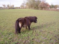 |
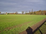
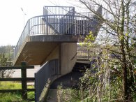
The path skirts the edge of Home Wood before heading down between fields, photo 7, and woodland to take a footbridge over the M25, photo 8. The gently rolling countryside continued to give good views in the bright winter sunshine. Once over the M25 was crossed the path passed through a couple of very muddy fields on the way to Whitewebbs lane where the ground around the gates had been churned up by horses hooves which led to my boots getting very muddy, but then I guess thats what they're for! On th way I passed a number of very sweet Shetland ponies, photo 9.
 |
 |
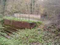 |
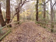
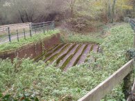
The path follows the Whitewebbs road for a while before heading down a bridle path through Whitewebbs Wood, photo 10. This heads downhill towards Cuffley Brook and the site of the Flash Lane aqueduct which was something completly unexpected. This is one of five scheduled ancient monuments in the London Borough of Enfield. The aqueduct was built out of cast iron in 1820 to carry the New River over Cuffley Brook. The New River supplied water to London from springs at Amwell, nr Ware and the aqueduct enabled a slight shortcut to the route the river took. It remained in use only a comparatively short time and was abandoned in the 1850's when pumping meant that the New River could take a far straighter course on its route to London, photos 11 and 12.
 |
 |
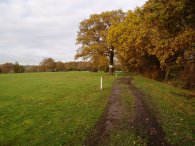 |
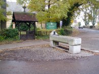
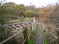
From the aqueduct the path heads up to Clay Hill and past the church of St John the baptist. This has an old granite Metropolitan Drinking Fountain and cattle trough association cattle trough outside, photo 13. The church also has an unusal bell tower in which the bells can be clearly seen. Unfortunatly I was unable to get a decent photo of the church and it's bell tower. This also marks the Southern most part of the Hertfordshire Chain Walk which shares its route with the London Loop for a short while at this point. The path then turns Northwest, crossing some railway lines, photo 14, and heading through the Crews Hill Golf course, photo 15, up to Cattlegate Road at Crews Hill from where it was a very short walk back to the car.
This was only a very short walk and I didn't have any aches or pains although I was walking very slowly for some reason.
The GPS made this walk 6.5 miles long.