Other Links >>> |
|
GRAND UNION CANAL - Part 9
Marsworth Junction to Leighton Buzzard
I did this walk on Sunday 27th November 2011, immediately after having walked the Aylesbury Arm of the canal.
 |
 |
 |
(1) Bridge 131 |
(2) Marsworth Lock 38 |
(3) Wendover Arm nr Bulbourne Junction |
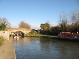
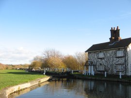
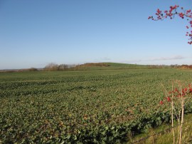
From Marsworth Junction we headed to our left to continue on up the canal, soon passing under bridge 131, photo 1, and reaching Marsworth Lock 38, photo 2, we stopped and had a short snack break sitting on the lock gates. Although there were still hedges lining much of the canal the views were much more open across the fields and small hills surrounding the canal, photo 3.
 |
 |
 |
(4) 53 miles to Braunston |
(5) Cooks Wharf |
(6) Grand Union Canal nr Cooks Wharf |
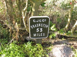
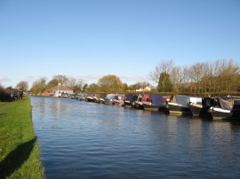
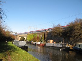
There were still the regular metal plaques counting down the distance to Braunston, this one showing 53 miles to go, photo 4. Not far past the marker we passed an area of moorings alongside the canal at Cooks Wharf, photo 5, close to the village of Pitstone. As for much of the route the main line rail services were running to close to the canal with a steady stream of trains going by, photo 6.
 |
 |
 |
(7) Seabrook Swing Bridge No 125 |
(8) Seabrook Lock 36 |
(9) View over to the Chilterns |
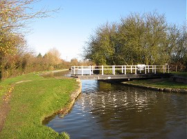
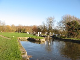
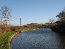
The canal then heads under the rail lines and on up to the small Seabrook Swing Bridge No 125, photo 7, only the second swing bridge that the canal has passed. The route then heads by the three Seabrook Locks. At the first of these it is possible to see the remains of the old single width lock to the left of the current double lock, photo 8. I am unsure whether theses single width locks were to help water conservation or increase traffic flow on the canal and they also explain the twin arched bridges that are found below some of the locks. After the second of the Seabrook Lock the canal follows gentle curve round to the left from where there were views over towards the foothills of the Chilterns, close to Ivinghoe Beacon, photo 9.
 |
 |
 |
(10) Bridge 123 |
(11) Grand Union Canal nr Slapton |
(12) Horton Wharf Farm |
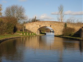
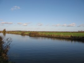
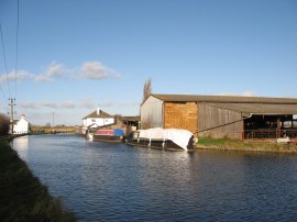
By now it was a really bright sunny day and once again very mild for the time of year and although there was a breeze blowing we were often sheltered from this by the canal side hedges. The path heads under the Ivinghoe Bridge, 123, photo 10, and then follows a long and reasonably straight section of canal, photo 11, which heads by the two Ivinghoe Locks and on to the buildings of Horton Wharf Farm, photo 12, with its barns close to the waters edge.
 |
 |
 |
(13) Some cattle having a drink |
(14) Church Lock 29 |
(15) Grand Union Canal by Church Lock |
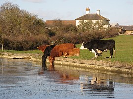
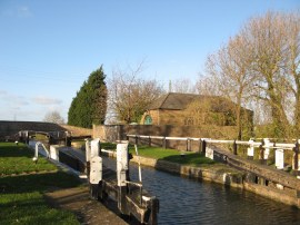
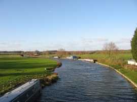
A little further on, by Hill Farm, some cattle including a bull, had come down to drink from the water edge, photo 13, in a properly rural scene. This was the first section of the path where I spotted a fair amount of livestock in the fields besides the canal which up to this point had generally been used for arable farming. Just past the farm the canal passes Slapton Lock and then there is a stretch of almost 1.7 miles until Lock 29, Church Lock, photo 14 is reached, the canal towpath winding its way through open farmland. On this stretch of path the Two Ridges Link path, which starts at Ivinghoe Beacon, joins the canal towpath for the remainder of its length to Leighton Buzzard. At Church Lock the towpath crosses over to the opposite bank canal, photo 15, and we stopped for a short lunch break besides the lock.
 |
 |
 |
(16) Grove Lock |
(17) Canal Nr Leighton Buzzard |
(18) Aylesbury Road, Wendover |
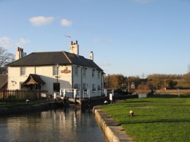
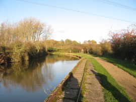
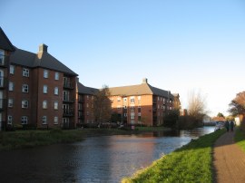
A further half a mile along the canal the towpath reaches lock 28, Grove Lock, where there is also a waterside pub of the same name, photo 16. We were now starting to approach the outskirts of Leighton Buzzard and soon headed under the A505 road bridge. On the opposite bank of the canal a wildlife park was marked on the map although there was nothing to see from the canal bank. At one point there was a short stretch of narrow gauge rails running alongside the edge of the towpath, photo 17, before disappearing off to the right although there was no trace of where these used to go. We were now on a surfaced stretch of towpath that headed under a disused rail bridge on into the centre of Leighton Buzzard with the detached waterfront houses soon giving way to another modern development of flats, photo 18.
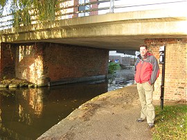 |
(19) Greg at the end of the walk |
The towpath heads up over what had been the entrance to a now filled in basin and heads round to the left to reach bridge 114, which carries the Leighton Road over the canal which is where we finished this stage of the walk along the Grand Union Canal, photo 19.
As usual I have uploaded the route of the walk which can be accessed here: Grand Canal Stage 9 Route.
Reaching the road bridge we had walked a further 8.0 miles along the canal. From there it was just a few yards over to where we had parked the car in New Road having walked a total distance for the day of 14.3 miles. There hadn't been a lot to see on this walk however it was nice to be out in the countryside on another fine November day and having company made the miles pass that bit quicker. It was also good to have finally completed this part of the walk, on so many occasions I had planned to do it only for something else to crop up. For the next stage I intend walking up to Wolverton which I will probably wait until next year to do as this will be around 18 miles and with the travelling I will need a longer day.
If you would like to comment on this walk you can do so here:
![]() Back to:Walk index page
Back to:Walk index page
| ©2012 Bertuchi.co.uk. Please contact me using the email button on the right if you have any questions or comments regarding the site. Any feedback and additional information about places of interest on the walks is always welcomed. All rights reserved. Please contact me if you want to use any of the images or information from the site. ENJOY YOUR WALKING |