Other Links >>> |
|
CAPITAL RING STAGE 8
Osterley Lock to Greenford
I walked this, the eighth stage of the Capital Ring from Osterley Lock to Greenford on the 11th November 2006, continuing on from stage 7.
 |
 |
 |
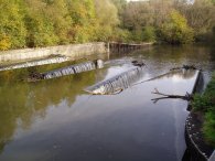
(1) Weir by Osterley Lock |
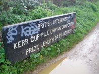
(2) Prize length of Piling 1959! |
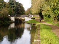
(3) Hanwell Locks |
From Osterley Lock the route of the Capital Ring continues along the banks of the Brentford Arm of the Grand Union Canal for a further mile or so up to Hanwell Locks. The Grand Union Canal shares its route with the River Brent, the two watercourses occasionally diverging when passing a lock. Photo 1 shows the weir the carries that leads the River Brent away from the Grand Union Canal around Osterley Lock near the start of the stage. On the way to the Hanwell Locks the path passes a memorial to the "British Waterways Kerr Cup Pile Driving Competition" recording the "Prize length of Piling 1959", photo 2. The Hanwell flight of six locks raises the Grand Union Canal 53 feet in a third of a mile and is now a scheduled ancient monument. Between the first and second locks of the flight the Capital Ring takes a footpath that runs off to the right along the River Brent.
 |
 |
 |
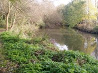
(4) River Brent |
(5) Rail Viaduct |
(6) Fingerpost, Brent Lodge Park |
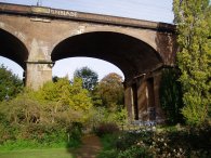
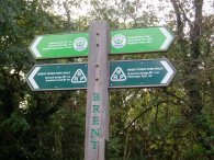
The path now follows the River Brent, photo 4, as it makes its way North past Hanwell, passing under the A4020 and on towards the big brick viaduct that carries the Great West Railway, photo 5. Just before the viaduct the path crosses over a small bridge to the other bank of the River Brent and heads into Brent Lodge Park, photo 6. The fingerpost gave distance of 6 miles from Richmond Bridge. The dark green signs under the Capital Ring are for the Brent River path which the Capital Ring has been following since Brentford.
 |
 |
 |
(7) Brent Lodge Park |
(8) Brent Valley Golf course |
(9) Bitterns Field |
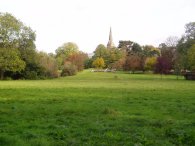
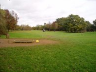
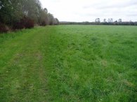
The path follows the twists and turns of the River Brent as it passes through the park, photo 7, before crossing a footbridge back over the river and into the Brent Valley Golf course, photo 8. Having taken a tree lined path through the golf course the path turns right to once again cross over the River Brent, following the river besides the large open space of Bitterns Field, photo 9. Horsenden Hill, which the path will cross in a few miles time, could be seen in the distance.
 |
 |
 |
(10) River Brent |
(11) Crossing the A40 |
(12) Rockware Avenue |
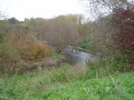
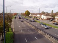
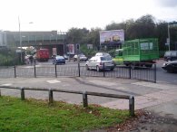
For a while the path rises above the river, photo 10, before dropping down to cross the B455 Ruislip Road East. Here the Capital Ring Path leaves the River Brent and, once across the road, heads over Perivale Park towards the A40 which is crossed via a footbridge. Crossing these main roads always gives a good indication of the progress I am making round London. Once over the A40 the route heads up Cayton Road before taking a fenced off path around the side of some playing fields, bounded too the right by some railway lines. This path runs into Bennetts Avenue which is followed round to the A4127 Greenford Road. Turning right up the Greenford Road it is just a short distance up to the junction with Rockware Avenue, photo 12, where this stage of the Capital Ring ends. It is a short walk down Rockware Road to Greenford Station however I continued on to the next stage. A finger post at the road junction gave a distance of just 34 miles to the Woolwich foot tunnel which for me will be the walk completed.
The GPS made the length of this stage 4.2 miles long.
![]() Back to:Walking index page
Back to:Walking index page
| ©2012 Bertuchi.co.uk. Please contact me using the email button on the right if you have any questions or comments regarding the site. Any feedback and additional information about places of interest on the walks is always welcomed. All rights reserved. Please contact me if you want to use any of the images or information from the site. ENJOY YOUR WALKING |