Other Links >>> |
|
CHILTERN WAY - Part 9
Cow Roast Lock to Whipsnade
 |
Chiltern Way |
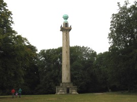
I did this walk on Sunday 30th September 2012. I drove over to Ashridge where I parked up by the visitor centre close to the Bridgewater Monument before following the route of the Hertfordshire Way, which I had walked back in May 2007, down into the village of Aldbury. The Monument, photo 1, was erected in 1832 in honour of Francis Egerton, the 3rd Duke of Bridgewater and his pioneering work on British canals and stands 108 feet tall.
 |
 |
 |
(1) Bridgewater Monument |
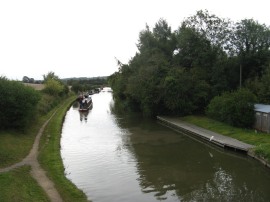
(2) Grand Union Canal |
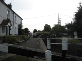
(3) Cow Roast Lock |
Once in Aldbury I then headed to the left along Trooper Road and continued ahead into Stoneycroft and reaching the end of the houses joined a field edge footpath that headed alongside a couple of fields before heading down to the Newground Road. I then followed the road down to reach the Grand Union Canal, photo 2. I then headed to the left along the canal bank for the short walk back up to Cow Roast Lock, photo 3, where I resumed my walk along the Chiltern Way.
 |
 |
 |
(4) Crossing over the railway |
(5) Aplaccas |
(6) Path at Tom's Hill |
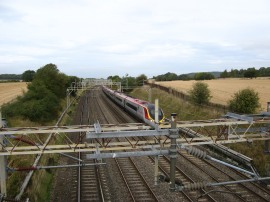
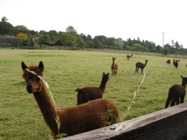
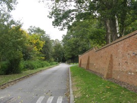
Reaching the lock I had walked 2.4 miles from my parking spot at Ashridge. From the lock I headed to the left along Wharf Lane before joining a footpath on the left which heads through a gap in the hedge and across a narrow field to take a tall footbridge over the main London to Birmingham rail lines, photo 4. The route then continues ahead across another narrow field before turning right, and then left, passing an enclosure full of Aplaccas, photo 5. The footpath skirts around the buildings of Norcott Court Farm to join a footpath that heads diagonally uphill across a field. The path continues across a couple of more fields, the path running roughly parallel with the Grand Union Canal in the valley below before decisively heading to the right along a byway that heads through a patch of woodland up towards Tom's Hill. Here I joined a driveway that runs past some farmhouses, where a lot of building work was taking place, and a very impressive new brick wall had been built on one side of the path, photo 6.
 |
 |
 |
(7) Aldbury |
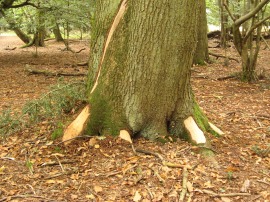
(8) Tree with its bark torn off |
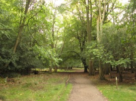
(9) Woodland at Aldbury Common |
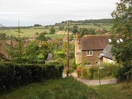
I then continued on along the driveway through more trees up to its junction with Toms Hill Road where the Chiltern Way joined a footpath on the left which heads quite steeply downhill through the trees to reach the edge of the village of Aldbury, photo 7. Here the Chiltern Way turns immediately sharp right to join another footpath heading also quite steeply back up through the trees. This soon crosses back over Toms Hill Road and continues on uphill through the woods. Reaching the top of the hill the route joins a broad path which continues straight ahead through the trees, passing an isolated house on the right. As I had been doing my walk around the Chiltern Way I had noticed quite a few trees where the bark had been ripped off around the base, photo 8, which I assume is being done by deer although I don't know this for sure. There then follows a very pleasant, level stretch of walking as the path runs through the trees, photo 9, crossing over B4506 road, before continuing ahead through more of the airy woodland. Reaching a clearing on the left the route then heads to the left running alongside the edge of Thunderdell Wood with the open space to the right.
 |
 |
 |
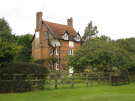
(10) Old Park Lodge, Ashridge |
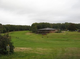
(11) Ashridge Golf Club |
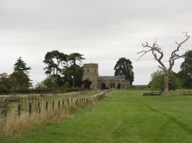
(12) St Peter and St Pauls Church, Little Gaddesden |
The path then continues on a fairly straight course through the trees of the Ashridge Estate, crossing over Prince's Riding where there views down to the Bridgewater monument one way and Ashridge College the other. The path then passes the Old Park Lodge, photo 10, and continues on down across the fairways of Ashridge Golf Club. The footpath heads to the left of the club house, photo 11, continuing gently uphill to join a surfaced track that leads up to a group of houses. Here the Chiltern Way continues ahead, bearing half right to join an enclosed stretch of footpath running between gardens. This soon leads out into another patch of woodland and across another of the golf course fairways and on to another stretch of hedge lined footpath running between gardens. After crossing a driveway the path heads up to a road by the Bridgewater Arms pub where the route heads half right across the road to join a footpath that continues ahead between paddocks with St Peter and St Pauls Church visible ahead in the distance.
 |
 |
 |
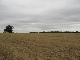
(13) Field nr Hudnall |
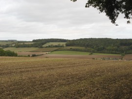
(14) Heading down to cross the A4146 |
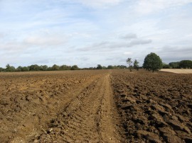
(15) Path heading towards Common Road |
The Chiltern Way doesn't quite reach the church, skirting its way around the houses of Little Gaddesden before continuing out along a footpath running over open fields. The footpath heads across the middle of a large open field, photo 13, where I was exposed to the full strength of the blustery wind which I had generally been able to avoid in the earlier wooded stretches of the walk. Reaching the end of this field the route bears to the left along a field edge path which drops down into a broad valley bottom, photo 14, where the route crosses over the A4146 Hemel Hempstead road. Halfway down this field. I crossed into the county of Bedfordshire, the Chiltern Way then continuing ahead across the road and then heading back uphill on the other side of the valley. At first the path runs between fields and then along a more enclosed stretch of path with trees of Ravensdell Wood on the left. Shortly after these end I joined a footpath that bears to the right across the middle of another large open field. This had recently been ploughed, photo 15, in fact the tractor was still working off to the right of the path, although a level stretch of path had been reinstated across the ploughed ground though the uneven nature of the ground was still enough to make me realise how thin the soles of my Berghaus boots are. The boots are really comfy to wear out and about on the footpaths but I would prefer a sole that was a little more rigid as you do feel every lump and bump underfoot when wearing them.
 |
 |
 |
(16) Path besides Whipsnade Zoo |
(17) Whipsnade Church |
(18) The end point of this stage |
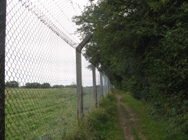
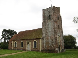
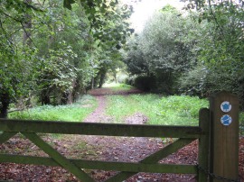
The path heads diagonally across this and another smaller field before heading down a short stretch of driveway to reach Common Road. Crossing over this, the Chiltern Way enters a field and joins a footpath that heads gently downhill to the left across the field, this was not the most prominent path across the field and I almost continued ahead in error. The footpath on the left soon leads down to Valley Road, which the route crosses continuing ahead along another field edge footpath as the path starts heading round the village of Studham. I had my lunch sitting on log, looking over to Studhamhall Farm where I saw a Muntjac deer walk across the field in front of me. It was a nice peaceful spot although I soon started to feel a bit cool as the sun went in and thus soon headed off on my way. From the field the path turns to the left along a bridleway which soon runs alongside the edge of Mason's Plantation as the Chiltern Way starts making its way from Studham over to Whipsnade. After heading alongside a couple of fields the Chiltern Way joins a path running alongside the tall wire mesh fence which surrounds Whipsnade Zoo, photo 16, along another stretch of path I had previously walked with Pete Collins. I could hear lots of sounds coming from the zoo, including their steam train, although the only animals I was able to see were a few Wallabies in the enclosure beside the path. The boundary fence is followed around to the left as the Chiltern Way heads along Studham Lane, an old tree lined road which has now been closed to traffic. Reaching the end of the closed off section lane the route continues ahead for a few yards before joining a field edge footpath on the right. Passing through a gate the route then heads to the left along a path that leads up to Whipsnade Church, photo 17. The footpath heads through the churchyard of St Mary Magdalene church before heading a short distance to the left across a common. Crossing the B4540 road the route heads up Bushey Close to the car park for the Whipsnade Tree Cathedral where I finished this stage of my walk along the Chiltern Way, photo 18, having walked a further 8.7 miles along the path.
 |
 |
 |
(19) Whipsnade Tree Cathedral |
(20) Whipsnade Zoo |
(21) All Saints Church, Dagnall |
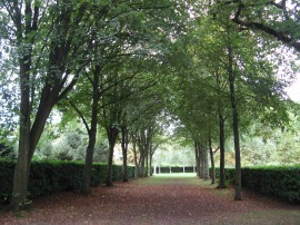
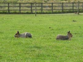
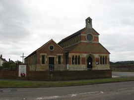
After a brief look round the tree cathedral, photo 19, and a short break I then began making my way back to the car at Ashridge. I headed back round the side of the zoo where I spotted a few more animals, photo 20, before joining the Icknield Way along a footpath which headed over towards the village of Dagnall. I headed through the village, passing the church which reminded me of an old engine shed, photo 21. I then continued on along the Icknield Way up Hog Hall Lane before continuing ahead to cross over Beacon Road where I entered into the woodlands of the Ashridge Estate. Here I soon was able to join a broad and level path which headed through the trees back to the car park by the visitors centre.
As usual I have uploaded the route of the walk which can be accessed here: Chiltern Way Stage 9 Route.
Reaching the car I had walked a total distance of 17.3 miles. This had been a good walk with varied scenery from the short stretch of canal at the start, the long stretches of woodland and wide open fields.
![]() Back to:Walk index page
Back to:Walk index page
| ©2012 Bertuchi.co.uk. Please contact me using the email button on the right if you have any questions or comments regarding the site. Any feedback and additional information about places of interest on the walks is always welcomed. All rights reserved. Please contact me if you want to use any of the images or information from the site. ENJOY YOUR WALKING |