Other Links >>> |
|
CHILTERN WAY - Part 7
Rout's Green to Little Hampden
 |
Chiltern Way |
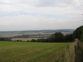
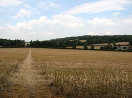
I did this walk on Sunday 12th August 2012, the final day of the London Olympic games. I drove over to the Chilterns and parked up at Lacey Green besides the Whip pub from where it was a 2.77 mile walk across the broad Saunderton Valley, photo 1, up to Rout's Green to the point where I had finished the previous stage of my walk along the Chiltern Way. This walk itself over to the start was very enjoyable and made a pleasant start to the day.
 |
 |
 |
(1) View across the Saunderton Valley |
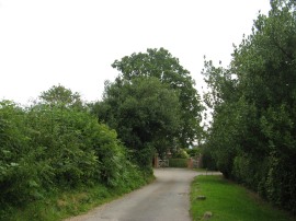
(2) Rout's Green |
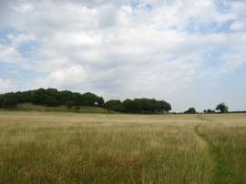
(3) Meadow nr Wigan's Lane |
From the road at Rout's Green, photo 2, the Chiltern Way joins a broad track that heads downhill along the edge of an area of woodland, Neighbours Wood. This path then heads down to run alongside some fields before skirting round a house and joining the driveway which leads up to Wigan's Lane from Old Callow Down Farm. The route then continues ahead across the road and over a stile to join a path running across the middle of an open meadow with an attractive lightly wooded hill away to the half left, photo 3.
 |
 |
 |
(4) Re-joining the Ridgeway |
(5) Path leading to Bledlow |
(6) Holy Trinity Church, Bledlow |
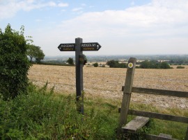
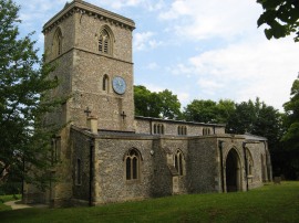
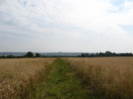
At the end of this field the route heads to the left, once again linking up with the route of the Ridgeway National Trail, photo 4. From this stretch of path there were very good views across the Saunderton Valley and out over the Vale of Aylesbury. After only a short distance the Chiltern Way leaves the Ridgeway, joining a path on the left which heads diagonally downhill across the corner of a field and then through a narrow band of trees which I couldn't see marked on the map. Continuing on, the path cross the middle of another field before crossing a lane to join a field edge footpath running along the edge of a large open field, photo 5. The footpath then continues its arrow straight route, running alongside the fields, down to the small village of Bledlow. Reaching the village the path heads between gardens to reach a road, Church End, where the route heads to the right through the village passing Holy Trinity Church, photo 6.
 |
 |
 |
(7) Path from Bledlow Ridge Road |
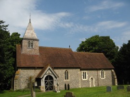
(8) St Mary & St Nicholas church at Saunderton |
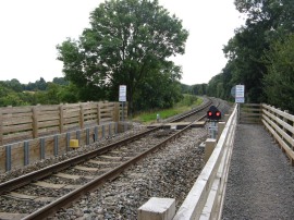
(9) Crossing the Chiltern rail line |
At the end of this road the route heads to the right once again, along Bledlow Ridge Road before soon taking a footpath on the left, just past the last house, which heads out diagonally across the middle of a large field which was planted with Wheat when I went through, photo7. At the end of the field the path then briefly heads to the right along a byway before joining another footpath on the left which is followed down to Oddley Lane. Reaching the end of this road the route turns briefly to the left along Bledlow Road and then right down Church Lane. The Chiltern Way then heads to the left to join a footpath that runs through the churchyard of St Mary & St Nicholas church at Saunderton, photo 8. From the churchyard the route heads through a small area of scrubby ground before heading to the right along a field edge path which is followed round to a very impressive crossing over the Chiltern rail line, with big wooden steps leading up the embankment to the actual crossing, photo 9. Rather unusually the Northbound and Southbound railway lines are separated from each other running than running side by side and this was the Northbound line.
 |
 |
 |
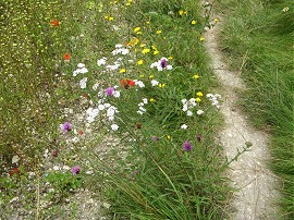
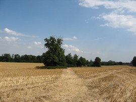
(10) Field edge flowers |
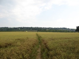
(11) Heading up to the A4010 |
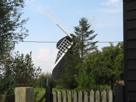
(12) Lacey Green windmill |
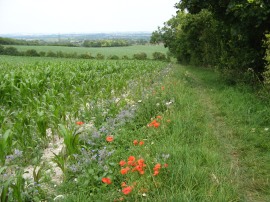
Once over the railway the path continues half right running along a grassy paddock which leads up to a road, the Upper Ickneild Way, which also quite appropriately is on the route of the Ickneild Way, another path I hope to be able to walk at some point in the future. Crossing the route continues ahead along a driveway round the old rectory before joining another field edge path. After a short distance this path heads to the left across the field, the route once again linking up with that of the Ridgeway. This path is followed up to the end of the Saunderton rail tunnel which carries the Southbound Chiltern Rail line, the rail line itself just visible running far below in a deep cutting. Once over the railway the route heads to the right, joining a path running along the edge of a large open field, parallel with the railway with the ridge where I had parked at Loosely Row growing steadily nearer. As in several places during the walk there was a nice selection of wild flowers growing alongside the edge of the field, photo 10. After a while the path bears to the left, heading over the middle of another large open field which was planted with what I think was Linseed, along a path which leads up to the A4010 road, photo 11. Once over the road I stopped for a short break before following the field edge path which heads up to a farm track. This is then followed as it climbs steadily uphill to Lower Road in the village of Loosley Row. Here I headed to the right before turning to the left up Loosley Hill to reach the village of Lacey Green by the Whip pub where I had parked at the start of the day. At this point I had walked just under six miles along the Chiltern Way, which is a decent enough stretch for a circular walk, however I was feeling fit and full of energy so decided to press on a little bit further along the route. From the pub the route turns right in front of the pub before almost immediately joining a field edge footpath on the left. Just to the left of this path is the Lacey Green windmill, photo 12, although despite being just a few yards from the path it manages to remain almost completely hidden from view.
 |
 |
 |
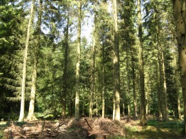
(13) Barne's Grove |
(14) Path leading from Barnes Grove |
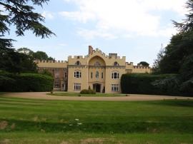
(15) Hampden House |
The path then heads out across the middle of a field before heading diagonally across an area which had been sub divided into paddocks, before once again joining a field edge path. As this heads gently uphill I passed a small corral with quite a few ponies in it and on the left a large polo pitch belonging to the Lacey Green Polo Club. On my return leg of the walk, along a different path, I could see that a polo match was taking place although for now the horses were just waiting. The path then heads across another field towards a band of trees before heading to the left down to Lily Bottom Lane. Here the route heads left, then right to join a path that leads into Monkton Wood, The route of the path here was a little unclear but more or less continues straight ahead, before heading along the clearing either side of some power lines up to Pink Lane. Here the Chiltern Way continues ahead along another minor road which is followed up to Pete's Lane in Redland End. Crossing this, the route heads through Kingsfield Wood before bearing to the right along a track that heads through Barne's Grove, photo 13, although on the ground the two areas of woodland are more or less indistinguishable from each other! I stopped for my lunch break in Barnes Grove and whilst I was sitting down to eat a single deer came running through the woods and stopped in the pine trees just in front of me to have a look before heading on slightly further into the trees, although it remained in view. All the time it was making quite a loud barking noise which I haven't heard a deer make before. From my lunch spot I continued on through the trees before joining a path which heads diagonally across a succession of fields, photo 14, up towards Hampden House. After the last of these fields the route joins a broad green track running towards the house before taking a footpath on the left which runs past the front of this imposing building, photo 15.
 |
 |
 |
(16) Heading down to Hampden Bottom |
(17) Peacock Butterfly |
(18) Little Hampden |
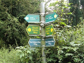
This soon leads down to another area of trees at Lady Hampden's Wood. Here the route heads steeply downhill along an enclosed path through the trees and out over a field, photo 16, to cross a road running along Hampden Bottom. Continuing on the route the joins a footpath on the other side of the road, running between a narrow band of trees. This is followed for some time before the path heads more steeply up across a field to another band of trees. At the top of the field was a wooden bench carved from a tree trunk where there was a peacock butterfly, photo 17, I had walked along this stretch of path a few years earlier with Pete from Pete's Walks and I was surprised to see how weathered the bench had become since then. The Chiltern Way continues uphill through the trees to reach a field where the path heads right along the field edge before heading into a corner of Warren Wood. After winding its way along the edge of the wood the route then follows a track down past a few houses to reach the road in Little Hampden, where I linked up with the route of the South Bucks Way and finished my walk for the day.
I sat for a short rest on a bench and having got my GPS out to see how far I had walked I found that it was turned off. I had changed the batteries while I was having my lunch stop earlier and can only I assume I must have forgotten to turn it back on again afterwards. However subsequently measuring the map for the missing gap showed I had walked another 9.5 miles along the Way.
Once again I was able to make a circular walk back to the car, avoiding almost all the paths I had used on my outward leg as I made my way back to the car at Lacey Green, walking a total distance of 17.1 miles for the day.
As usual I have uploaded the route of the walk which can be accessed here: Chiltern Way Stage 7 Route.
This had been another pleasant walk and another decent stretch of the path completed. The Chilterns are probably my favourite reasonably local area to walk in with a good mix of hills, woodland and open fields to walk through and this stage was no different. With this walk I have also now definitely passed the half way stage of the original Chiltern Way.
If you would like to comment on this walk you can do so here:
![]() Back to:Main index page
Back to:Main index page
| ©2012 Bertuchi.co.uk. Please contact me using the email button on the right if you have any questions or comments regarding the site. Any feedback and additional information about places of interest on the walks is always welcomed. All rights reserved. Please contact me if you want to use any of the images or information from the site. ENJOY YOUR WALKING |